European Commission under the FP7- Capacities – Regions of knowledge –
Living Lab leading and change management
2010, 2 years
In 2008, RITA project initiated a European Research Cluster based on a network of public and private actors working on various rural territories in the European Union, who shared a willingness to experiment the Living Lab approach. In 2010, RITA project consisted of yearly experimentations, focused on a French-Spanish partnership, including research organizations, Civil administration departments and two SMEs (semi-public companies), who reshaped their structures and their channel of actions to foster local dynamics of economic innovation. It fostered a new dynamic and competitive knowledge economy, based on the ability to experiment research and technological territorial projects and overcome structural upheavals in rural economy.
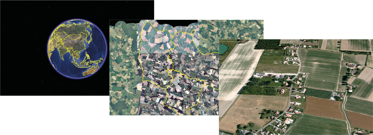
The RITA project gathered existing and new actors around a common interest in economic sectors of the sustainable development and who were concerned by the following space-based services: supporting the evolution of agricultural practices, public management of the environment and land, prevention and management of natural risks (installation of Copernicus services at local and regional level). To afford their various demands, a cornerstone tool has been design, the “Environmental information system” (EIS). It’s a flexible tool which gathers in a single system a geo database, endogenous specifities of partners territories, and simulates known and foreseeable situations of evolution.
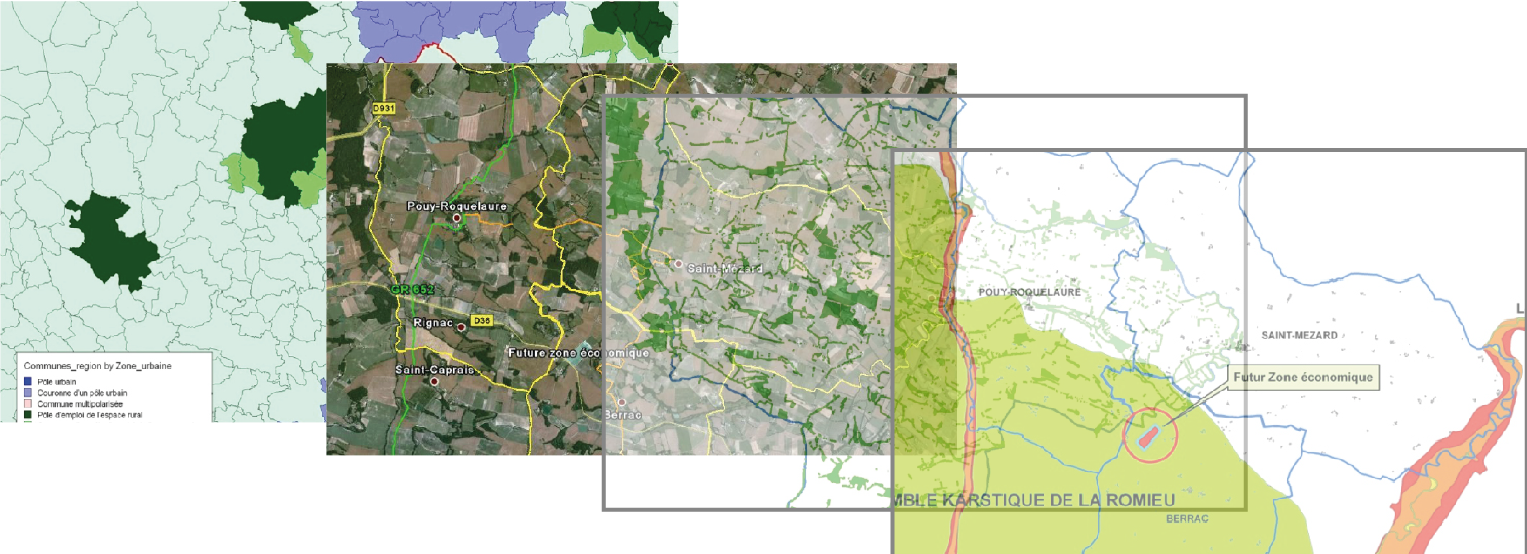
- In 2010, in the context of Local Urban Planning, we supported local actors to optimize their green infrastructure from a territorial point of view, considering long term impacts by using scenario from space-based data.
- In 2011, from mutual interest to foster tourism, we facilitated the grouping of intercommunal resources to implement a method of common agreement, illustrated by the co-design of inter-municipality footpaths.
- In 2012, the Project SATERRE focused on community engagement to highlight the agronomic potential of lands, taking into account interest of farmers, public entities, territorial organization and cooperatives.
- In 2013, we drove a community of hemp crops farmers ready to engage a circular economy as process of innovation.
- In 2014 to 2016, partnered with INRA and other territorial organizations, we facilitated the implementation of intermediate crops with farmers in order to highlight the impacts of agriculture on the reduction of global warming.
Satellite technologies allow us to transfer farmers-centric services to other economic sectors of environmental sustainability. RITA project enabled the territory to well combine the local scientific and technological capacities and to organize the inter-regional actors relationship, essential to co-define a common territorial strategy of sustainable development.
This project confirms a methodology to engage user community in interactions with experts in research and local land development about space-based products and services.
We are also familiar to translate user requirements into a user interface and to adapt on feedback, in an iterative process and considering optimization aspects.
The services tested were transferred to regional companies like SMEs, which means we are familiar with transferability of project.


http://www.cesbio.ups-tlse.fr/fr/rita.html